








I can (and do) proudly say that, in my life, I've learned a lot about a few things, and a little about a lot of things. My expertise on some matters is, admittedly, like the Platte River, a mile wide and an inch deep. Most people are like that, I think, to some degree or another.
There are a few things, though, that I know little or nothing about, like sportsball and cartography. But it does strike me as odd, even in the Antarctic, an area marked on maps only as "Danger Zone," that went ignored and unexplored to the point where nobody even noticed that there was an actual no-joke island sitting there.
Researchers recently discovered that a long-misidentified Antarctic “danger zone” was actually an island — and have now mapped it for the first time.
The discovery was announced in an April press release from the Alfred Wegener Institute (AWI), a German polar research center based in Bremerhaven.
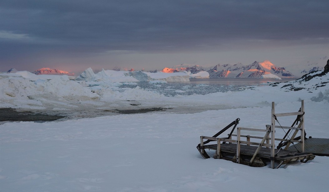
The island is located in the northwestern Weddell Sea, and was spotted during an expedition aboard the AWI’s icebreaker Polarstern.
They just found it. Granted, it's a small island in a part of the world that doesn't see a lot of traffic. But it's been there for thousands of years, and they just now found it? And if that's the case, why were maps marked "Danger Zone"?
Researchers were originally studying the rapid decline of sea ice in the region when harsh weather forced them to pause.
They took shelter on Joinville Island to avoid the wind and waves — where they later spotted the previously unidentified island.
“On our route, the nautical chart showed an area with unexplored dangers to navigation, but it wasn’t clear what it was or where the information came from,” Simon Dreutter, a bathymetry data engineer at AWI, said in a statement.
After examining the available coastline records, Dreutter looked out the window and saw “an ‘iceberg’ that looked kind of dirty.”
He recalled that “on closer inspection, we realized that it was probably rock.”
“We then changed course and headed in that direction, and it became increasingly clear that we had an island in front of us!”
It's been there for thousands, maybe millions, of years. They just now noticed it.
Read More: Is Penguin Poo Promising Plummeting World Temps?
When Antarctic Headlines Melt Faster Than the Ice
OK, I have a couple of questions.
First, why the "Danger Zone" appellation? Somebody must have been in there before now and noticed the island. Maybe there are dangerous shoals around it? If so, how were those found, and not the island? Or is the "Danger Zone" label akin to the old "Here be monsters" warnings?
Second, the island isn't huge; 426 feet long by 164 feet wide, looking rather like a cucumber, and at its highest it sticks 52 feet out of the water. But it's big enough to be seen from some distance. Forget ships; don't aircraft patrol this area, monitoring the ice sheets? And they never noticed it? The "Danger Zone" warning, in the Antarctic, surely wouldn't be taken to apply to aircraft, unless there are known to be hostile penguins wielding shoulder-fired surface-to-air missiles in the area.
At least now, they have found it. We can hope that "Danger Zone" on those maps will be amended to include "Big Rock."
This seems appropriate.
Editor's Note: The Democrat Party has never been less popular as voters reject its globalist agenda.
Help us continue exposing Democrats' plans to lead America down a dangerous path. Join RedState VIP and use promo code FIGHT to receive 60% off your membership.



Join the Conversation
VIP members get the ability to comment on articles.